


S-04
SERVICE
Engineering &
Construction Surveys
Surveying support throughout various stages of construction and infrastructure projects.
Request this service
S-04 — KENYA
S-04
OVERVIEW
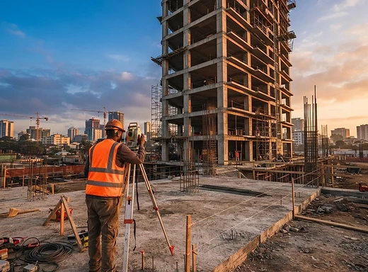
Construction projects depend on accurate positioning, levels and spatial control. Precision Datum Geospatial provides surveying support throughout various stages of construction and infrastructure projects.
Precision for Construction & Infrastructure
We help project teams translate designs and engineering plans into accurate positions on the ground.


